GIS Mapping Service
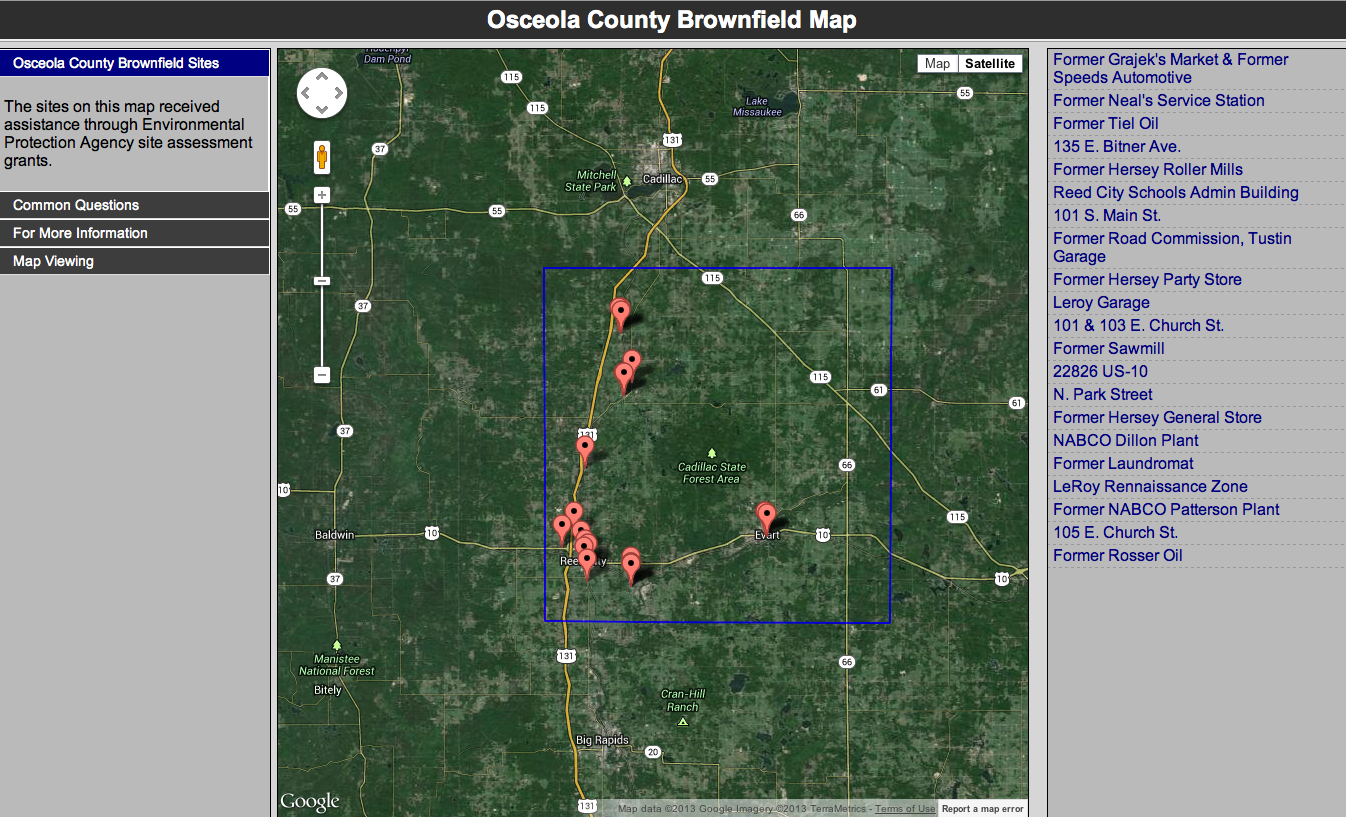
 In support of counties with grant requirements for map development, we have produced maps that display the location of individual brownfield sites which can be provided as static downloadable maps or included on a website as interactive maps. Additional data about site characteristics can be accessed through the interactive maps.
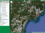
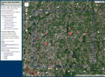
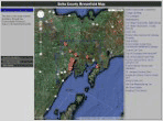
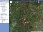
We have assisted the following counties with development of web maps for brownfield sites assessed under EPA brownfield site assessment grants. Each map displays the location of individual brownfield sites as well images and specific information for each site.
Click on the thumbnail images below to visit the following county brownfield site web map links.
For GIS services from MAC
 Contact: Gabriel Zawadzki, Grant Services Program director
zawadzki@micounties.org
Phone: 517-712-7131